
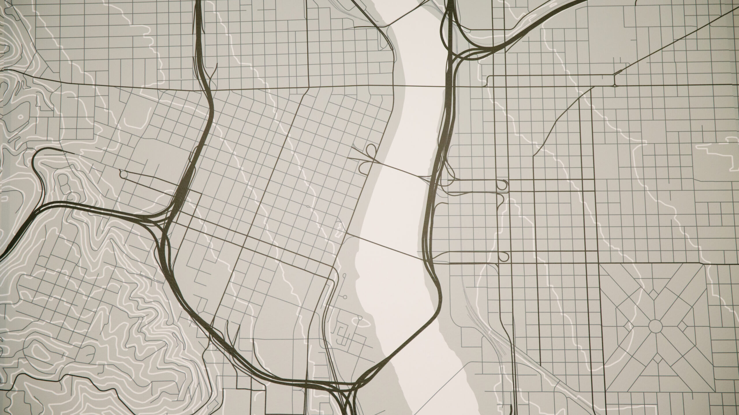
Google Earth and Google Maps are two very robust and useful tools in our software toolbox. We all know that Google Earth and Google Maps allow anyone to look at aerial images in practically any place. But did you know that Google offers historical images in both aerial and street views? And the best part, access to all these features is free!
We might be giving away trade secrets, but at this point everyone should be using Google Earth / Maps. Google Earth is now available as a desktop app or online website. The features discussed are for Google Earth Pro desktop, as some are not offered online yet.
Ruler
The tried-and-true tool that everyone should not only be familiar with but proficient in is the ruler. Using the ruler may be the easiest way to gather quick measurements or long distances between two or more points. The ruler has many different options to measure; from the simple two-point line to polygonal shape for calculating area and perimeter.
Historical Data (Aerial and Street View)
By far, one of the most useful features is the Historical Image slide in Google Earth. It allows the user to go back in time and see different periods of that same location. With the historical image slide, users can view images of projects prior to construction. If the current image is not clear, there may be a previous image with the same roadway geometry and markings.
Historical images extend to Google Maps but with a different advantage. Google Maps offers historical street view images. For the same reasons mentioned above, it may be beneficial to select different dates when viewing a location. From a crash reconstruction standpoint, many historical street views are taken after a crash, and roadway evidence can still be seen.
Each historical slider is proprietary to their programs, meaning historical aerial images are available only on Google Earth, and historical street views are available only on Google Maps.
Paths
The Path tool may be one of the tools that have huge potential in projects that involve GPS data. You may be aware that the path tool can create an elevation profile for the determined path. Did you know that you can also create a fly-through video or tour?
Tours are typically user generated, location to location, and can be seemingly “clunky”. However, if using the path tool as the groundwork for a tour, it sets a pre-defined height and speed, and follows the path as it is laid out. Kittelson LLC often receives GPS data about the pre-crash or post-crash movement of a vehicle. Our team can then create a fly-through video depicting the path that vehicle followed. The GPS data is imported into Google Earth, and generates a path to follow the data points. This allows for a smooth fly-through video for the client (and potential jury) which allows them to visually understand how far the driver traveled after they fled the scene.
View in Google Maps
I find myself switching between Google Earth and Google Maps often, but it can be frustrating to have to navigate to the same location twice. In Google Earth, there is a quick button that allows the user to open an internet browser separately and it automatically loads the location into Google Maps. From there, you can drop into Street View and access historical data as described above.
While this is only the tip of the iceberg when it comes to the extensive catalog of different technologies Kittelson LLC staff utilize, it is also a useful tool to share with our clients. As always, if you would like to discuss this matter further or any of our other technologies, please contact any of the qualified experts at Kittelson LLC.